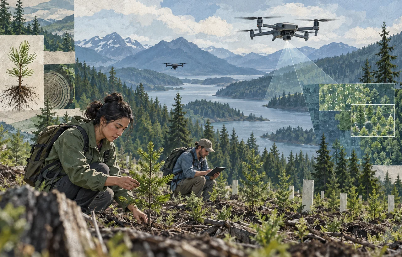
AI-guided drones could make some restoration work faster and safer, especially on large or difficult terrain. They are not a substitute for ecological planning, local stewardship or long-term monitoring.
What the technology actually does
A typical system combines aerial mapping, soil and slope analysis, seed-pod placement and follow-up imaging. The strongest use case is operational: drones can survey large areas, identify planting zones and reach sites that are expensive or dangerous for crews.
Planting speed is an input, not proof of restoration. A credible project reports germination, survival and ecosystem recovery over several growing seasons. A headline seed count can conceal poor establishment when species, rainfall, soil or aftercare are wrong.
The evidence readers should ask for
Useful reporting separates seeds dispersed, seedlings established and hectares moving toward a locally appropriate ecosystem. It should also name the species mix, the monitoring period, the baseline condition of the land and who independently checked the results.
Restoration is not always tree planting. Grasslands, peatlands and naturally regenerating forests can be damaged by inappropriate planting. Local ecologists and communities need a role in deciding whether planting is the right intervention at all.
Economics and accountability
Drone systems may reduce mapping and deployment costs, but the full budget includes nurseries, seed collection, permits, maintenance, fire protection and multi-year monitoring. Comparing projects on cost per surviving native plant is more meaningful than cost per seed dropped.
The practical test is simple: does the project produce a resilient, diverse ecosystem and durable local benefits? Until survival data supports that outcome, billion-seed claims should be treated as ambition rather than achievement.